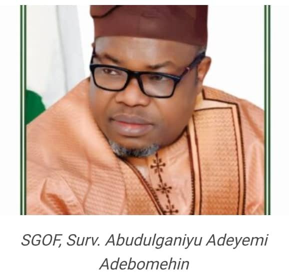
By Ameh Gabriel
The Surveyor General of the Federation (SGOF), Surv. Abudulganiyu Adeyemi Adebomehin, has called for a deeper collaboration between his office and security agencies to effectively tackle the persistent insecurity plaguing Nigeria.
Speaking as a guest on TVC News’ Breakfast Programme on the topic “Mapping a Brighter Future: Enhancing Nigeria’s Development Through Accurate Mapping,” Surv. Adebomehin emphasized the critical role geospatial data can play in national security efforts.
According to him, the Office of the Surveyor General of the Federation (OSGOF) is well-equipped with vital geospatial datasets—including forest maps, environmental maps, and other security-related geographic information—that can support security agencies in identifying and eliminating threats across the country.
“OSGOF is the only agency that truly understands and defines Nigeria’s geographic realities,” Adebomehin stated. “Our data is sovereign and scientifically grounded. Yet, not all security stakeholders engage us before taking field action. Ignoring these maps undermines national safety and planning.”
The SGOF expressed concern over the lack of consistent cooperation from some security bodies, noting that while certain agencies recognize OSGOF’s relevance and consult appropriately, others disregard its expertise altogether.
Highlighting a major structural gap, Adebomehin advocated for the creation of an enforcement unit within his office to curb illegal encroachment on floodplains and other environmentally sensitive zones—especially during housing developments.
“We have accurate floodplain data, and we issue warnings. But without an enforcement mandate, people still go ahead and build on these vulnerable areas,” he said. “To stop this, there must be a legislative backing that empowers our office to act. International best practices support such frameworks.”
He further stressed the urgent need for the National Assembly to pass relevant legislation that would grant OSGOF enforcement powers, aligning Nigeria with global standards in geospatial data usage and environmental regulation.
“Without arms or legal authority, we cannot compel compliance. But with the right backing, we can protect lives, property, and the environment using our scientific and reliable maps,” he concluded.


