…Urges Stronger Collaboration Between OSGOF and Security Agencies to Tackle National Insecurity
By Uriel Ihotu
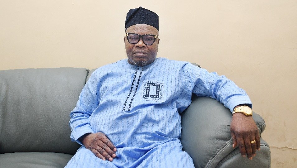
Abuja, Nigeria —The Surveyor General of the Federation (SGOF), Surv. Abudulganiyu Adeyemi Adebomehin, has called for the establishment of an enforcement unit within the Office of the Surveyor General of the Federation (OSGOF) to curb the persistent encroachment on flood-prone areas, particularly during housing and infrastructure development.
This was contained in a statement signed on 21st May 2025 by Henry David Head, Information and Public Relations Office of the Surveyor General of the Federation
Speaking as a guest on TVC News’ Breakfast Programme earlier today, during a segment titled “Mapping a Brighter Future: Enhancing Nigeria’s Development Through Accurate Mapping,” Surv. Adebomehin highlighted the growing threat of unregulated housing on floodplains and the urgent need for legislative support to enforce compliance with environmental maps.
“Floodplains are continually being encroached upon despite repeated warnings. People build homes in these high-risk zones, but OSGOF lacks the legal mandate to enforce relocation or halt construction,” he said.
He emphasized that the creation of a legally empowered enforcement unit would bring Nigeria in line with international best practices and enhance the effectiveness of OSGOF’s environmental and geospatial planning.
“We need the backing of the National Assembly to establish the framework for enforcement. Without it, our warnings remain advisory, not actionable,” Adebomehin added.
According to the Surveyor General, OSGOF holds comprehensive geospatial data and environmental maps that clearly outline flood-prone areas, forest reserves, and critical environmental zones. However, without enforcement powers or an enabling act, these maps are often ignored by developers, putting lives and infrastructure at risk.
“We produce forest maps, environmental maps, and even security-sensitive geospatial data. Yet, we don’t carry arms or have legal authority. If someone chooses to ignore our maps, there are no real consequences under the current law,” he said.
Call for Inter-Agency Collaboration
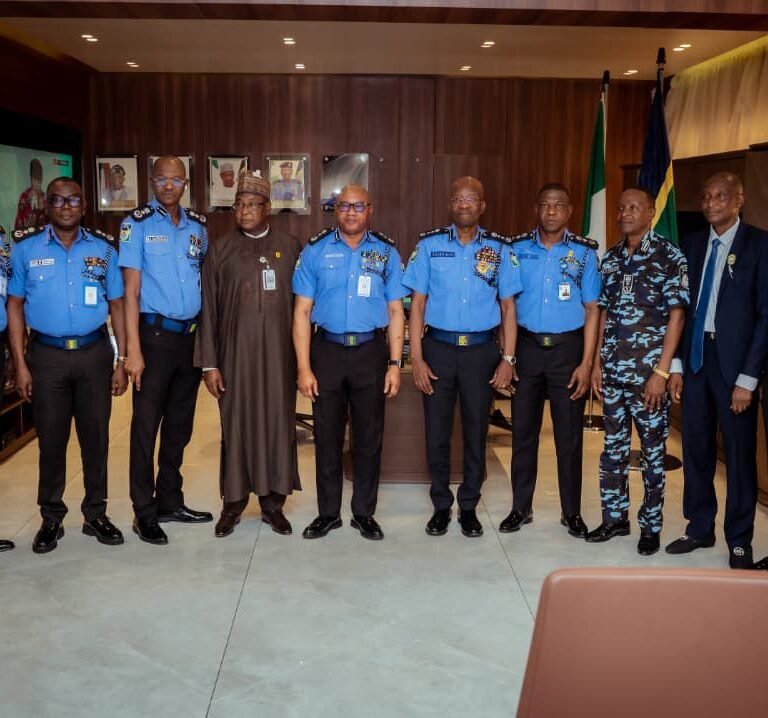
Surv. Adebomehin also used the platform to call for improved collaboration between OSGOF and security agencies in tackling broader issues of national security and land use planning.
“Some security agencies understand our role and collaborate with us, but others bypass us completely. Yet, OSGOF is the only agency with the legal mandate to define Nigeria’s geographic and spatial boundaries. Our data is sovereign, credible, and crucial to national planning,” he stated.
He noted that stronger collaboration would not only enhance national security operations but also improve responses to environmental crises, especially flooding, which has displaced thousands in recent years.
In conclusion, the Surveyor General urged the National Assembly, relevant ministries, and security institutions to recognize the strategic role of OSGOF in nation-building and to provide the legal tools necessary for effective enforcement.


